Home
Products
Software
Summit Evolution
Summit Federal
Summit UAS
LandScape
Components
Capture
Contour Creator
MapEditor
Airfield3D
Ortho+Mosaic
Hardware
3D Displays
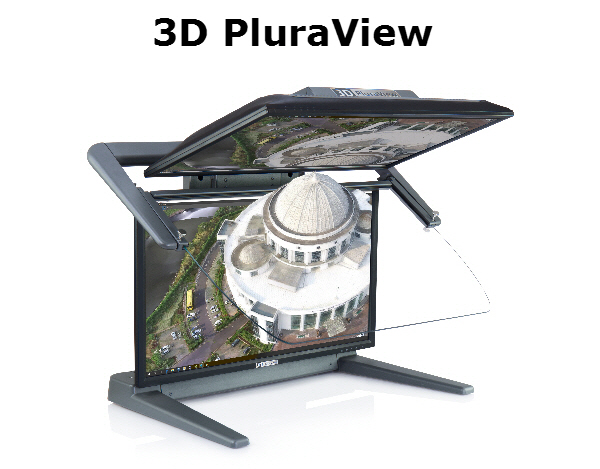
3D PluraView
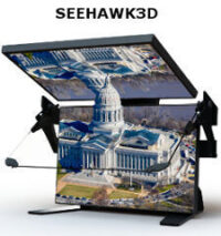
VRLOGIC SeeHawk3D
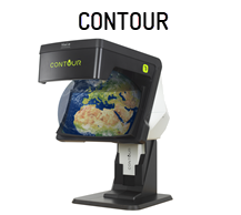
Contour
NVIDIA 3D Vision
Touch Input Devices
KeyPad Advantage
TouchScreen
KeyPad
KeyPad for AutoCAD
3D Input Devices
GGS SoftMouse
The Stealth 3D Mouse
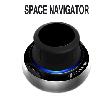
Space Navigator
Integrations
Download Brochure
Purchase
Request Purchase Info
Request a Demo
Testimonials
Support
Configurations
Upgrade
Release Notes
Archived Release Notes
Downloads
Webinars
Training Videos
Tech Tips
Resellers
Contact Us
About Us
In-memoriam
Contact Us
News
Submit Feedback
Home
Products
Software
Summit Evolution
Summit Federal
Summit UAS
LandScape
Components
Capture
Contour Creator
MapEditor
Airfield3D
Ortho+Mosaic
Hardware
3D Displays
3D PluraView
VRLOGIC SeeHawk3D
Contour
NVIDIA 3D Vision
Touch Input Devices
KeyPad Advantage
TouchScreen
KeyPad
KeyPad for AutoCAD
3D Input Devices
GGS SoftMouse
The Stealth 3D Mouse
Space Navigator
Integrations
Download Brochure
Purchase
Request Purchase Info
Request a Demo
Testimonials
Support
Configurations
Upgrade
Release Notes
Archived Release Notes
Downloads
Webinars
Training Videos
Tech Tips
Resellers
Contact Us
About Us
In-memoriam
Contact Us
News
Submit Feedback
All
3D Displays
3D Input Devices
Components
Hardware
Software
Touch Input Devices