DAT/EM 2017 Vision: Expanding our Portfolio with Point Clouds, Virtual Reality and Unmanned Aircraft Systems
Celebrating our 30th anniversary in 2017, we continue to explore new technologies and expand our portfolio with point cloud modeling, virtual reality applications and UAS. These tools complement DAT/EM’s core business, our photogrammetric software line, Summit Evolution™.
Point Clouds
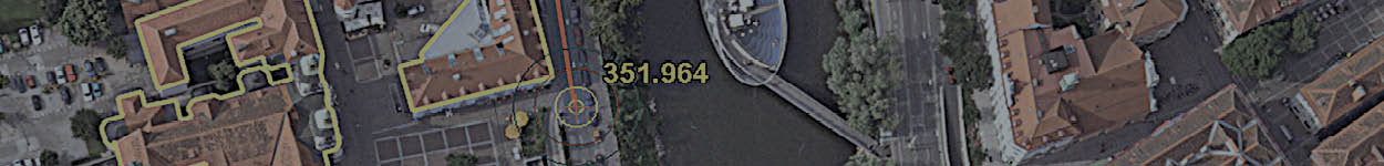
Used by industries like transportation or civil engineering that require extreme accuracy, DAT/EM’s point cloud editing software, LandScape™, contains a wide variety of tools to create, modify and classify points and draw vectors based on those points. We added several interactive point editing tools for smoother functionality and to provide users with unrestricted control over their data.
Virtual Reality
DAT/EM’s newest software ambition uses virtual reality and the latest DirectX 11 technology for extremely fast stereo rendering of point cloud projects with billions of points. Imagine being able to view the desktop and CAD or GIS window, snap to points and surfaces, and digitize 3D vectors while virtually flying around the points. The DAT/EM Virtual Reality™ technology is an evolutionary alternative to the 3D screen which will change the landscape of 3D stereo software solutions.
End-to-End UAS Solutions
DAT/EM, with several major UAS processing software companies, is creating a user-oriented, seamless workflow. Capture imagery with UAS, upload the data into UAS orientation software and view the stereo models or resulting orthophotos with Summit Evolution technology, from Summit UAS™ to the more fully featured editions. Compile highly accurate 3D vectors and information suitable for inspections, topographic mapping, engineering, farming, forestry or conservation projects.
The DAT/EM 2017 Vision article was originally published in the January 2017 supplemental edition of xyHt magazine.
Comments are closed.