Icaros OneButton
By combining OneButton™ by Icaros with Summit Evolution by DAT/EM Systems International, you will derive valuable 3D information from your UAS-collected data. In a seamless workflow, Capture UAS imagery, upload the data into Icaros OneButton™ and view the stereo models in Summit Evolution. In Summit Evolution, compile highly accurate 3D vectors and information suitable for inspections, topographic mapping or engineering projects. For a simplified user-interface, create 3D vectors in Summit UAS from the OneButton derived orthophoto for use in industries like farming, forestry and conservation.
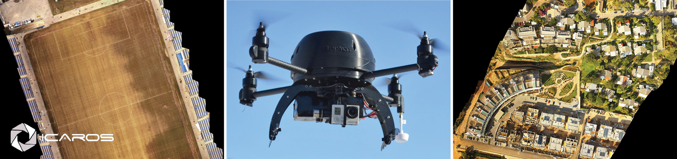
About Icaros OneButton™
OneButton™ software utilizes the most advanced photogrammetric structure from motion algorithms to let you easily and automatically produce aerial image maps, 2D/3D digital terrain models, 3D point clouds and more. Go from collected images to seamless orthorectified, geospatially accurate products within minutes with fully automated image-stitching, feathering, light and color balancing for exceptional results. While easy to use, OneButton™ produces better results than competitive software and there is no limit to your project size. Regardless of your experience, OneButton lets you immediately increase the ROI on your drone.
Product Highlights
- Extremely easy to use saving both time and money, and leveraging your workforce for better productivity and growth
- Options for various project types which optimizes the photogrammetric process for your project’s type of imagery and the outputs desired
- Go from collected images to seamless orthorectified, geospatially accurate products (digital elevation models, orthomosaics, 3D point clouds) within minutes
- Fully automated image stitching, feathering, light and color balancing for exceptional results
- Supports entry (or import) of ground control points (GCPs) for high geolocation accuracy projects such as engineering and construction.
- Indifferent to camera, lens, and external orientation parameters (auto-calibration)
- Supports small and medium, as well as large format sensors for efficient coverage of large areas
- Supports multispectral multiband imagery
- Unique bundle block adjustment for precise geo-positioning of nadir and oblique imagery
- High-performance, state of the art photogrammetric engine incorporates the latest Computer Vision and Structure from Motion technologies to produce exceptional 2D and 3D results
- View your outputs in a built-in viewer: View 2D outputs (GeoTiff orthomosaic, GeoTiff terrain model), View 3D outputs (LAS point cloud, PLY photomesh), Create fly-through videos, Generate contour lines from GeoTiff terrain models
- Real time progress, auto-save and recovery capability
- Processing report showing project properties, processing results, statistics, image coverage analysis, image correlation map, and automatic camera calibration results
- Utilizes GPU and multiple cores (if present) for very fast processing
- Scales to more than 10,000 images
For more information visit www.icaros.us/onebutton
Photos courtesy of ICAROS.
Comments are closed.