DAT/EM Attends Geospatial World Forum in India
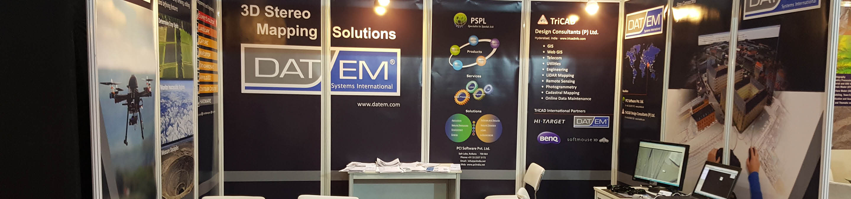
Stop by booth #27 at the Geospatial World Forum in Hyderabad, India taking place January 2017. We will be sharing the booth with our local resellers TriCAD Design Consultants Pvt. Ltd. and PCI Software Pvt. Ltd. Available for demo in our booth will be our suite of 3D Stereo Mapping Solutions for use with stereo imagery, point clouds and UAS data. We will offer on-demand demonstrations customized to booth attendees. Please stop by the booth during exhibition hours to view a personalized demonstration or fill out the form below to schedule a specific time.
What technologies will we demonstrate at the Geospatial World Forum?
Summit Evolution provides a set of powerful tools for discovering and capturing 3D information from stereo data. Summit Evolution is available in five product levels. Professional includes orientation measurement, orthorectification, terrain visualization, contour generation, point translation and DTM collection. Feature Collection is for those whose project setup, orientation and ortho processing needs are met elsewhere. Lite is a visualization tool designed for resource specialists, GIS technicians and QA professionals. Mobile is a variety of Summit Evolution Lite optimized for the field, but also available for desktop. Summit UAS is designed for UAS orthophoto-based 3D viewing and simple 3D digitizing.
View and edit 3-dimensional point clouds using LandScape from DAT/EM Systems International to provide an advanced and efficient portal into one’s terrain dataset. LandScape is capable of operating on very large terrain point clouds such as from LiDAR or SfM. The operator may choose options to view terrain datasets in stereo within LandScape in standalone mode, or interacting with and superimposed over a Summit Evolution imagery project. LandScape contains a wide variety of automatic and interactive tools to enhance understanding of one’s data by creating, modifying and classifying points as well as drawing vectors based on those points. LandScape’s tools can be configured by the user to further enhance understanding of the data view.
Capture works in tandem with DAT/EM’s flagship products, the Summit Evolution™ digital photogrammetric workstation and the LandScape™ point cloud editing toolkit. Capture sends 3D (x, y, z) ground coordinates to the companion application. Simultaneously, 2D or 3D features from the CAD or GIS software are rendered back in true relative 3D position in the stereo display using DAT/EM SuperImposition™ for immediate feedback and feature verification. Capture is included with Summit Evolution Professional, Feature Collection and Lite and is an option for LandScape. Vectors are collected directly into one or more fully-functional companion CAD or GIS programs. Currently supported companion programs are AutoCAD®, MicroStation®, Esri® ArcGIS® and Blue Marble® Global Mapper®.
The forum takes place January 23-25, 2017 in Hyderabad, India. For more information about the forum, visit www.geospatialworldforum.org
Comments are closed.